
Oklahoma ZIP Code Families
This table is a verified geography-family guide for Oklahoma, not a complete five-digit ZIP list. Research did not locate a single open official statewide table that could be checked row by row. The family ranges below point to broad regions only. City or post-office labels vary within a family, and every delivery address still needs a current USPS check.
| Postal family range | Representative areas | Post office context | Geography note |
|---|---|---|---|
| 730xx to 731xx | Central Oklahoma, Oklahoma City metro, Edmond, Norman, nearby communities | Names vary by address; verify through USPS | Several city and county boundaries overlap. |
| 734xx to 735xx | South-central and southwest Oklahoma, including Ardmore and Lawton areas | City labels do not set county jurisdiction | Rural routes and municipal lines can differ. |
| 736xx to 737xx | West-central and northwest communities, including Elk City, Clinton, and Enid areas | Check the delivery city by address | ZCTAs are statistical approximations, not mail validation. |
| 738xx to 739xx | Northwest Panhandle and western Oklahoma | Post office labels vary | ZIP city names do not define county records. |
| 740xx to 741xx | Tulsa metro and northeast Oklahoma | Verify the assigned post office with USPS | City and county lines overlap in the metro. |
| 743xx to 744xx | Northeastern and eastern Oklahoma communities | Named city may differ from nearby place | Check rural routes, tribal context, and county. |
| 745xx to 747xx | Southeast Oklahoma communities | USPS address lookup is needed | Mailing city may differ from municipal name. |
| 748xx to 749xx | East-central, southeast, and border communities | Use the address-level USPS result | Confirm county before opening local records. |
| PO-box or unique ZIP | Post offices, campuses, government or special facilities | Facility or box assignment | May not describe a residential parcel. |
Do not read these broad families as an inventory of all active postal assignments or post offices. USPS assignments can change, and a PO-box or unique ZIP may not map to homes at all. The USPS address lookup is the source for an address’s current delivery ZIP and city/state result.
USPS Confirms an Oklahoma Delivery ZIP
The USPS address lookup checks a street address against the postal delivery system and returns a delivery ZIP with city and state information. It is the first stop when a mailing label is uncertain. The public form uses dynamic address fields, and exact labels were not available in text inspection, so no field names or guaranteed search options should be assumed.
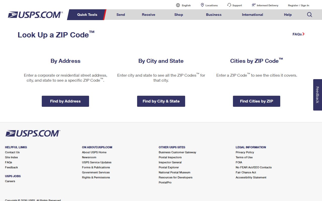
The captured USPS screen shows an address-to-ZIP lookup rather than a list of all people or all Oklahoma post offices.
After the postal result, use a county boundary or parcel map to identify the local record custodian. USPS provides mailing geography; it does not pick an assessor or recorder.
No ZIP Filter on the Assessor Form
The Oklahoma County Assessor form was inspected for ZIP search fields. Its transaction search shows a City dropdown, and its parcel result displays City, State, and ZIP, but the visible form has no ZIP filter. These are different functions. A ZIP printed on a parcel card does not mean that the assessor can return every parcel in that ZIP.
| Portal or field | Search mode | Verified behavior | Limit |
|---|---|---|---|
| USPS address lookup | Address-based lookup | Returns delivery ZIP and city/state for an address. | Dynamic exact labels were not captured; not a resident list. |
| Oklahoma County Assessor City | Optional dropdown | Lists named cities, unincorporated, and Oklahoma County. | No ZIP field appeared on the inspected form. |
| Assessor parcel card City/State/ZIP | Result display | Shows postal details with parcel and billing information. | An output field is not a search filter. |
| OK Voter Portal name and date of birth | Voter self-verification | Checks an individual’s registration and related services. | Not an unrestricted ZIP or neighborhood browse. |
The visible search fields and result fields differ. Check the live form before claiming any county portal accepts a ZIP query.
Three Address Keys on Oklahoma Parcels
An Oklahoma property record can carry a physical location, a mailing or billing address, and a legal description. These fields may point to different places without indicating an error. The situs address locates the parcel, the billing address routes tax notices, and the legal description identifies the land in recorded instruments. USPS uses a separate delivery ZIP, while assessor and GIS systems organize the parcel by account or map.
The Oklahoma County sample card displays City/State/ZIP beside a separate billing address and a legal-description warning. If a ZIP lookup returns a postal city that differs from the parcel’s municipality, retain both labels and use the legal description or parcel map to choose the right Clerk.
- Situs address
- The street address of the land or building shown on the parcel card.
- Billing address
- The address where tax notices are sent; it does not prove where an owner lives.
- Legal description
- The official land wording, often lot/block or section-township-range, used for recorded transfers.
Find People Within an Oklahoma ZIP
A ZIP can narrow the geography, but the inspected county systems do not offer a verified statewide resident search by ZIP. The Oklahoma County Assessor’s transaction form has a City dropdown and address/account modes, but no visible ZIP field. A parcel card can display City/State/ZIP without making ZIP a search filter. The OK Voter Portal is for an individual voter, not a ZIP-wide browse.
- Enter a full street address in USPS lookup to confirm the delivery ZIP and preferred mailing city.
- Use the county boundary or GIS map to identify the parcel’s assessor and recorder county.
- Search that county’s assessor by the fields its form actually accepts, such as address, owner, account, or subdivision.
- For voter records, use the self-verification portal or review the State Election Board’s eligibility forms. Full-list access is restricted.
Effective November 1, 2025, full Election Data Warehouse access is limited by 26 O.S. §7-103.2 to specified eligible users, including bona fide Oklahoma resident U.S. citizens, recognized party representatives, Oklahoma candidates or their official representatives, and others authorized by law. Applicants submit a full-access request form; basic access uses a separate form and does not include the voter registration list. Approved files are CSV downloads refreshed each weeknight, and the Election Board does not build a custom ZIP list. Protected addresses are excluded.
Once the county and street are known, the Oklahoma street directory workflow follows parcel, deed, map, and voter records at that finer level. Do not treat a result shown under a ZIP as proof that every resident in that ZIP appears in the record set.
Oklahoma ZIP Codes Cross County Lines
Oklahoma has 77 county assessor systems, each with its own form and coverage. Mailing city and ZIP names do not decide which county holds the parcel. In the Oklahoma City area, a postal city can cover places outside city limits and even outside Oklahoma County. Tulsa-area postal geographies also cross local lines. A ZIP result should lead to a boundary check, then to the assessor and County Clerk for the parcel’s actual county.
If a county portal returns no address, use its GIS map or official county directory to test the next jurisdiction. Then call the assessor or Clerk, visit the public counter or terminal, or send a specific Open Records request for an existing record. The custodian may charge for copies under its schedule, and county fees and online coverage vary.
An Open Records request should name the record and a useful time range; the office is not required to create a new report that it does not keep. The Oklahoma Open Records Act governs access to identifiable existing records. Ask whether a book/page, instrument number, or parcel description will help staff find the file, and confirm copy costs and delivery options with that county.
Oklahoma ZCTAs Are Statistical Areas
The Census Bureau’s ZIP Code Tabulation Areas are statistical approximations built from census geography. They can support population or map analysis, but they are not the postal delivery zones used to validate an address. The Census ZCTA description should therefore be kept separate from the USPS lookup.
A Census map may help compare broad regions, but it cannot establish the assigned ZIP for a house, determine a county assessor, or route a deed. Use USPS for delivery and the county parcel boundary for property records.
Limits of Oklahoma ZIP Code Directory Data
The research did not verify a complete current list of Oklahoma five-digit ZIP codes and post offices. USPS’s public address lookup did not expose a statewide table without an address, and ZIP assignments can change. The family guide at the top of this page is intentionally broader than an individual ZIP list. It must not be used as a substitute for a current USPS extract or a local portal’s own search form.
There was also no verified ZIP filter on the inspected Oklahoma County assessor form or the OK Voter Portal. Eligible full-file users can request EDW data, but the exact CSV columns must be reviewed before sorting by a postal field. For a search that needs one exact address, start with delivery verification and then identify the right local custodian.
ZIP Codes and Oklahoma City Limits
A delivery ZIP is not a legal city boundary, county line, school district, or assessor area. Oklahoma City mailing addresses can fall outside city limits and even outside Oklahoma County, while an address within a city may use a nearby community’s preferred mailing name. Tulsa-area ZIPs also cross local boundaries. Route a deed or parcel search by the GIS or county boundary, not by the city printed in a postal result.
- Five-digit ZIP and ZIP+4
- The five-digit delivery ZIP names a USPS delivery area; the added four digits narrow delivery to a segment or group of addresses.
- PO-box ZIP
- A ZIP assigned for post-office boxes that may not represent a residential neighborhood.
- Unique ZIP
- A ZIP set aside for a particular facility or organization rather than a broad residential area.
- Carrier route
- A postal delivery route within an area; it does not set county or city jurisdiction.
When any of these postal details conflict with a city name on a parcel card, keep both facts and verify the delivery address with USPS. Then use the parcel’s county and legal description to find the office that holds land records.