
Oklahoma Neighbors by Block-Level Source
For one Oklahoma address, the public record is layered. County GIS helps identify parcels beside or across from a lot; the assessor supplies parcel details; deeds show legal transfers; and election data has statutory access limits. City and library sources add civic or historical context, but they do not produce a statewide household list. An owner entry is not a complete record of all neighbors at an address.
| Source | What It Shows About a Block | Access |
|---|---|---|
| County GIS parcel map | Adjacent parcels, roads, map layers, and account links | Interactive county map; exact controls vary |
| County assessor card | Owner, situs, billing address, parcel ID, legal description | Portal, phone, or counter; fields differ by county |
| County Clerk deed index | Recorded transfer parties, date, and legal description | Portal, public terminal, or copy request |
| Voter tools | Registration and precinct details under access rules | Self-verification portal or eligible EDW access |
| City planning or code office | Published permits, inspections, public notices, or cases | City portal, clerk counter, phone, or written request |
| Neighborhood resource pages | Public boundaries, civic contacts, meeting or news links | City association page; no statewide roster |
| OHS and local libraries | Historical directory entries, newspapers, maps, and yearbooks | Catalog, reference desk, onsite, or interlibrary loan |
A parcel card identifies an owner and a mailing address, not everyone who uses the property. A boundary on a city association map does not establish membership. In every row, treat the first result as a lead and confirm it with the record keeper when the detail matters.
Map Adjacent Oklahoma Parcels around One Address
The Oklahoma County Assessor provides one documented example of the parcel-map route: open a parcel map from an assessor card, pan along the block, and select adjacent parcels to reach their property details. The ArcGIS experience is a county example, not a standard map for all 77 counties. Its exact identify, select, or buffer control labels were not captured, so use the live map legend and available controls rather than expecting a named tool.
The Oklahoma County parcel map opens from the assessor’s GIS experience. The map is a way to orient a search; legal ownership and transfers come from the assessor card and County Clerk record.
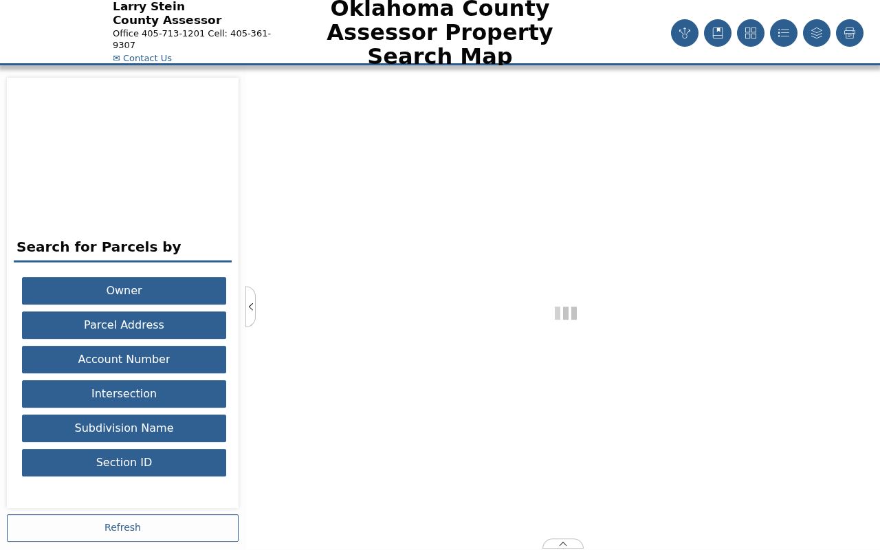
Follow a parcel outward and check each selected account before drawing a line between map shapes and people.
- Find a known address in the relevant county assessor or GIS portal and note its account or parcel number.
- Open the parcel map and click parcels that share a boundary or face the same block; note public tracts, alleys, roads, and multi-unit parcels.
- For each parcel, record the situs, owner, mailing address, parcel ID, and legal description shown on the assessor card.
- Verify a transfer in the county deed index when ownership history matters, since a map polygon is not a deed or survey.
This is a short block radius workflow. A parcel map can locate adjacent property, but it does not name every person someone may regard as a neighbor. For a full named-street sequence across address-based records, continue with the Oklahoma street directory.
Oklahoma Neighbors and Association Resources
Oklahoma City and Tulsa publish official neighborhood-resource pages that can help route an address to a local association or civic contact. Their listings and maps are examples, not one statewide association directory. Exact group names, current contacts, meeting details, and public materials can change, so check the municipality that serves the address. Neighbors can use a public contact or boundary for civic context, but a map alone does not show who belongs to a group.
| Oklahoma City | Neighborhood Resources links to city neighborhood and community information. |
|---|---|
| Tulsa | Planning and Neighborhoods provides the city’s neighborhood association route. |
| Other Oklahoma cities | Ask the city clerk or planning office for its current neighborhood page, association contact, or public records request method. |
Oklahoma City’s community resource page is the official entry point for its local layer.
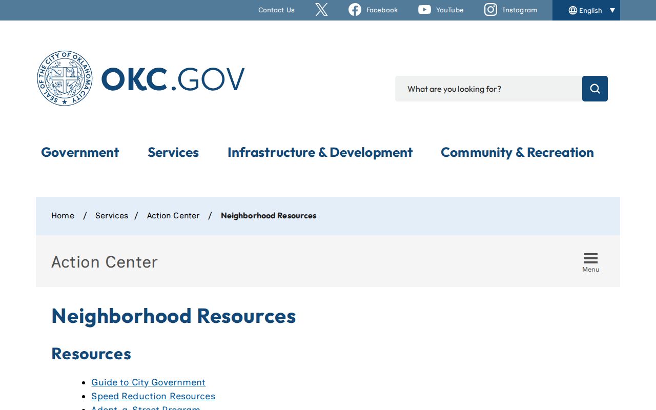
It can point to public civic information, but it does not make private association membership or household rosters public. For an association outside Oklahoma City, use the local city site or call the office that maintains the listing.
Tulsa’s neighborhood page describes its own association context.
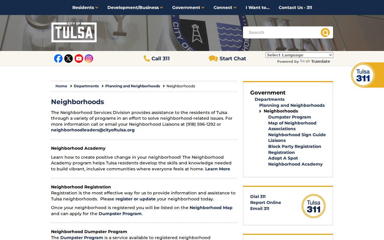
The Tulsa page is a municipal source for Tulsa-area civic context. It should not be read as a statewide member index or as proof that a person belongs to a group.
Oklahoma Neighbors and Voter-File Access
The OK Voter Portal is for a voter to verify their own registration with the registered name and date of birth. It can provide registration, voting districts, polling-place, and other voter services, but it is not a public map of each block. The state’s voter list is accessed through the Election Data Warehouse (EDW) under separate rules.
The access split changed on November 1, 2025. Full voter-list data is limited to qualified Oklahoma resident U.S. citizens, recognized party representatives, Oklahoma candidates or representatives, and other people authorized by law. A full-access user submits the voter-list form; basic access uses a different request form and does not include the registration list. Approved EDW files are CSV downloads refreshed each weeknight.
Restricted and Address Confidentiality Program addresses are omitted, Social Security and driver-license numbers are not released, and phone or email is not part of the registration record. A voter entry is not proof that everyone in a home is listed or that a registered person still lives there. Do not treat a lawful, limited dataset as a free block directory.
Permits and Code Records Date Oklahoma Blocks
Permits and code records add dates and activity to an address, not a full account of the people nearby. Depending on the city or county, an online lookup may show a permit applicant, work description, issue date, case status, or inspection event. Oklahoma has no common municipal permit search, so verify that the correct city offers a public portal before relying on one.
If no online result appears, contact the planning, building, or code department that created the file. Ask about an address-based history, the written request route, any copying cost, and whether older records are held by the clerk or archives. A city clerk can also route a request for identifiable existing records under the Oklahoma Open Records Act.
Municipal court records are separate from the OSCN district-court index. Search the court for the city tied to the address; if the interface does not answer the question, use the clerk counter, call the department, or request a copy in writing. A permit or code case shows a dated event, not who occupied a building at every point in time.
Historical Oklahoma Neighbors in Library Directories
When the question concerns an earlier block, local libraries and the Oklahoma Historical Society can provide city directories, reverse or criss-cross volumes, phone books, newspapers, and maps. A name-first entry may show an address and occupation; an address-first section, when a volume has one, can help find a listed name for a known street number. Exact titles and years vary by town.
Ask a reference librarian to check the catalog by town and year, and ask whether a volume is on the shelf, microfilm, available through interlibrary loan, or in a licensed database. OHS’s Research Center has statewide materials and a research-request route; local branches may hold their own newspapers, yearbooks, cemetery indexes, and vertical files.
Older street numbers and directions may be spelled out in newspapers, and neighborhood or subdivision names may help find a record when a modern address misses. Preserve the printed form and compare maps, directories, and deeds by date. A historical entry can show who was listed, but it does not prove who lives there today.
Oklahoma Parcel and County Lines Shape a Block
An Oklahoma address has several location keys. The assessor uses an account or parcel and may list a situs address separately from the billing address. The County Clerk’s deed index uses the legal description and transfer parties. USPS’s ZIP Code Lookup can verify a delivery ZIP, which can differ from the municipality or county that holds the record. A map boundary helps select the jurisdiction, but the mailing city alone is not enough to choose a recorder. That split can change which local records neighbors should check.
In rural areas, parcel shapes can be large, section-township-range references can matter, and an adjacent parcel may be a road, alley, public tract, or multi-unit property. In towns, subdivision, block, and lot details connect an address to a plat. Ask county GIS or the assessor which office covers the parcel, then confirm the deed with that county’s Clerk.
These differences also explain why adjacent shapes do not always mean adjacent households. A ZIP and a city label are delivery and place names, while parcel boundaries and civic association areas are separate layers. Keep the source and date beside each location detail.
Privacy Limits on Oklahoma Neighbor Lookups
Official rolls have a custodian and a stated access path. Commercial address tools may combine public and purchased data, charge for access, merge people with similar names, or keep an old address after a source changes. Removing a profile from a private service does not correct the county deed, assessor, voter, or court record behind it.
| Source type | What it can support | Limit |
|---|---|---|
| Official parcel, deed, or city record | A dated owner, transfer, map, permit, or public civic detail | Use the listed custodian; record may omit occupants or be incomplete |
| Official voter source | Registration details within the lawful access level | Protected addresses are withheld; no ballot choices are shown |
| Commercial compilation | A possible lead from combined data | May be stale or combine names; it is not the official source |
Parcel maps do not reveal every household member, guest, utility customer, delivery recipient, or protected person. Oklahoma’s Address Confidentiality Program, 22 O.S. §60.14, and voter protections under 26 O.S. §4-115.2 keep some addresses out of public datasets. Do not try to work around those limits or infer a protected location from nearby records.
Lawful use. Keep local record research to lawful personal, civic, historical, or safety needs. Do not use a name or address to watch, threaten, harass, or harm anyone; Oklahoma’s anti-stalking law is 21 O.S. §1173.