
Oklahoma Address Records by Era
The record set for an Oklahoma address depends on when the place existed and which office held the land or household record. The table separates broad, statewide history from local series that must be checked by county, city, and year. A visible portal range is not proof that every older deed is online.
| Source | Years It Covers | Where Held | What It Shows |
|---|---|---|---|
| County land books | Many series begin November 1907; county dates vary | County Clerk or Recorder; OHS land guide | Recorded instruments; many Indian Territory district books were not preserved by new counties. |
| Oklahoma County assessor transactions | Visible tax-year options 2000–2026 | Oklahoma County Assessor | Current parcel and deed-history clues; this is not a deed index cutoff. |
| City and county directories | Verified examples from 1890–1901; later runs vary | OHS Research Center and local libraries | Names, addresses, household notes, and local context by year. |
| Reverse or criss-cross directories | City and library catalog must be checked | OHS or local library | Address-to-name leads; no statewide year run was verified. |
| Federal census | 1790–1950 public under the 72-year release rule | National Archives and library databases | Decennial household snapshots, not annual address continuity. |
| Sanborn maps | More than 3,000 Oklahoma maps; town and year vary | OHS, Library of Congress, local libraries | Building shape, materials, street names, and some business or occupant labels. |
| OHS obituary and probate indexes | Oklahoman 1972–2014; Oklahoma County probate 1890–1928 | OHS Research Center and county court clerk | Family and estate clues; each named collection has a limited scope. |
| Permits | City or county range varies | Planning or building office | Work dates and application details where recorded, not proof of residence. |
For a recent parcel, start with the Oklahoma County Assessor and then the Clerk’s deed index. For a household between transfers, check directories and census years. For land before county government, consult the OHS land guide and ask whether the controlling file is territorial, tribal, or federal. The exact start date for an Oklahoma County deed portal was not verified, so use the custodian for older books and copies.
Oklahoma Statehood and Land Records
Oklahoma statehood joined two territorial systems on November 16, 1907, but it did not create a continuous county deed trail for every parcel. OHS reports that 30 Indian Territory judicial recording-district books were generally not preserved by the new state counties. A missing early deed can therefore reflect a gap in the records that survived, not a poor search. Before that period, land evidence may sit in a tribal allotment file, federal tract book, territorial land office, or townsite record.
The Oklahoma Historical Society Land Records Guide explains the territorial and statehood land systems, county coverage, tract books, and early directories. Its context image shows why a present-day county map cannot define every older record jurisdiction.
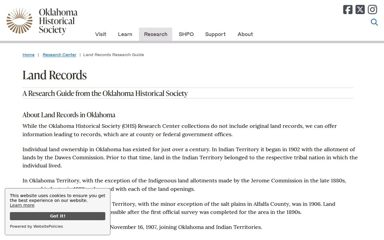
OHS also describes 72 volumes of Federal Tract Books arranged by township and range, plus a published surname index. Homestead files are requested from the National Archives. A person tied to land before statehood may appear in these systems rather than in a county deed book.
Oklahoma Previous Residents Through Deeds
For a present-day parcel, begin with the assessor’s current owner and legal description. Then use the County Clerk’s recorded instruments to follow each transfer back. The Oklahoma County assessor sample links deed rows to book and page details and to images at the recorder. Its date range is only a sample of the result, not proof that an entire title chain is online. County Clerk portals, image access, and paper-copy fees differ around the state.
- Write down the owner, account or PIN, site address, billing address, subdivision, block, lot, and full legal description from the assessor card.
- Open the newest deed row and note the date, type, book/page or instrument number, price, grantor, grantee, and legal description.
- Search the prior grantor or grantee in the County Clerk index. Match the legal description and parcel continuity, not just a name.
- Repeat across each transfer. Family, probate, or correction deeds may show little sale value or a changed name.
- If the online index ends, ask the Clerk about a public terminal, older books, microfilm, and copy options.
- Grantor and grantee
- The party who conveys a recorded interest and the party who receives it.
- Chain of title
- The sequence of recorded transfers that link a parcel’s successive interests.
- Legal description
- The recorded land description, such as lot and block or section-township-range, used to identify the parcel.
- Criss-cross directory
- A directory section organized by address rather than only by a person’s name.
The Oklahoma County Recorder’s EagleWeb landing page is the captured example for the deed search. The browser launch screen is useful as a portal reference, but it does not establish a statewide online cutoff.
When a portal is incomplete, use the official County Clerk contact route. A courthouse public terminal, specific book/page request, written copy request, or certified copy can extend the search; the custodian sets the cost and service details.
Oklahoma Address Records in Parcel Cards
A parcel card can hold more than a current owner name. The inspected Oklahoma County sample separates Location from Billing Address and links the property map, value history, deed transactions, tax account, permits, and building detail. Its deed table showed three recent rows, but that sample should not be read as a complete record of earlier ownership.
| Record field | What the sample displayed |
|---|---|
| Parcel identifiers | Account, parcel PIN, map reference, and parent account. |
| Address and owner | Physical Location, Billing Address, City/State/ZIP, and up to three owner names. |
| Land description | Section-township-range-quarter and subdivision, block, and lot. |
| Deed transaction | Date, document type, book, page, price, grantor, grantee, and instrument link. |
| Property history | Value, exemptions, sales, tax link, permit rows, and building details when present. |
The card labels itself for general reference and warns that its legal-description display is not an official deed-transfer description, survey, or title report. Use the Clerk’s recorded instrument when a precise transfer matters.
Oklahoma Address History at Home
The OHS guide titled “Researching the History of Your Home” gives a practical owner-to-record route. First search the assessor by name or address and copy the subdivision and legal description. Then search the County Clerk, use OHS catalogs for names or subdivision terms, and move among deeds, city directories, and newspapers. The steps suit an heir, family historian, or owner trying to learn when a home changed hands.
The guide is based on Oklahoma County but says that parts apply elsewhere depending on the records a town keeps. It also points to Sanborn maps and local libraries. The illustrated OHS home-history guide is the source for this workflow.
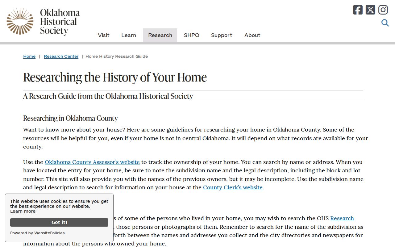
After the image’s sequence, compare each dated source with the parcel’s legal description. That makes it easier to distinguish a legal owner from a person listed in a directory or newspaper. When material is not online, ask OHS about research or copy orders, a local library about microfilm or interlibrary loan, and ODL State Archives about a visit. Archives staff ask for at least two weeks’ notice and advance retrieval.
Oklahoma Previous Residents Between Census Years
City directories can supply annual names, addresses, and household clues between census years. The OHS directory catalog searches by city or year, but the books it lists are accessed at the Research Center in Oklahoma City. Confirm the exact volume and year before making a trip. The catalog includes examples such as Guthrie and Logan County in 1892 and 1898, Garfield County in 1896, Woods County in 1895, and Oklahoma City and County in 1900–1901.
A directory entry can include a spouse, address, and a mark for residence or ownership, but the abbreviation key differs by volume. Use the catalog and local library holdings for the year and city in question. The collections themselves are described on the Oklahoma Directory Book page.
- Choose an anchor year from a deed, census, obituary, or family event.
- Find the closest directory and copy the name, address, household details, and any abbreviation exactly.
- Search the new address in the next available reverse directory, then repeat across gaps.
- Pair each directory year with a census year, but keep them distinct: directories are often annual, while federal census schedules are decennial.
The National Archives releases federal census schedules after 72 years. The latest public census is 1950. A census gives a household snapshot; a directory can add a year between those snapshots but is not an official residence certificate.
Oklahoma Address History in Sanborn Maps
Sanborn fire-insurance maps can help connect an older street label or lot to a building that still stands. OHS reports holding more than 3,000 maps for Oklahoma towns. Sheets may show building footprints, construction materials, street names, lot lines, and in some cases occupants or businesses. Coverage depends on the town and year, so a missing map does not settle the history of a property.
Search the OHS Research Center, the Library of Congress Sanborn map collection, or ask a local library about its map holdings. Some libraries provide access to Oklahoma Sanborn sheets with a library card. A map describes structures and fire risk, not every household member.
Old Oklahoma Address Spellings
A search for a house may need the words used when the record was made. OHS warns that older newspapers may spell a number and direction as “twelfth” and “northwest,” where a later source says 12th and NW. Towns expanded, county lines changed, and roads were renamed or normalized, but the research did not find one statewide renumbering year. Check local plats, planning or GIS records, directory forms, and Sanborn maps.
Search former and current street names, the plat, and nearby cross streets. City or postal names may change while the parcel’s legal description stays the same.
Oklahoma Probate Records for Past Residents
Estate records and obituaries can help explain why a deed changed while the family story continued. OHS’s genealogy resource lists Oklahoma County probate for 1890–1928, Oklahoman obituaries for 1972–2014, Oklahoma City deaths for 1908–1926, and funeral-home records or programs for 1905–2020. These are named collections, not a complete statewide set.
Use the OHS genealogy page and its catalog to see which collection covers the person or county. For recent probate, search the county court clerk or OSCN index, then request the case file from the clerk if the image is not online. The free Gateway to Oklahoma History can add newspapers and other digitized material. A published obituary is a lead, not proof that a person lived at a particular address.
Past Oklahoma Residents in Printed Records
Deed books track legal interests, while directories and census schedules can show people connected to a home. A reverse or criss-cross directory starts with the address and may identify a name or nearby household; a name-first volume may include an address, spouse, and work description. Search local libraries and the OHS directory catalog for actual holdings. The earlier Oklahoma Directory Book collection notes describe how to find a city and year.
Newspapers, cemetery indexes, probate files, and family records can extend the trail after a move or death. Compare each date and place with the parcel history. For present-day records, continue with the Oklahoma street directory.
Lawful use. Oklahoma house-history work is for family research, property history, and personal curiosity. Do not use a record trail to follow, threaten, impersonate, or harass a living person.